I have been attending navigation courses over the last few years with Lee from SMT Outdoors in Ramsbottom. Over time we have discussed a range of activities, awards and volunteering of which I would love to take part in. One of which was to complete the NNAS Awards and attend some orienteering events. The other was becoming a Dogs bodies for mountain rescue, but found out that I have to be 18.
The Bronze NNAS award was initially booked for April before coronavirus started, so that got cancelled. Then it was booked in July and Lee got poorly. However, I have now finally completed it.
We spent a day walking around Ramsbottom, going from Nutall park to Edenfield north of Ramsbottom through fields, public footpaths and back roads. We walked through a field that belonged to a massive farm and then returned back to Nutall park on a different route.
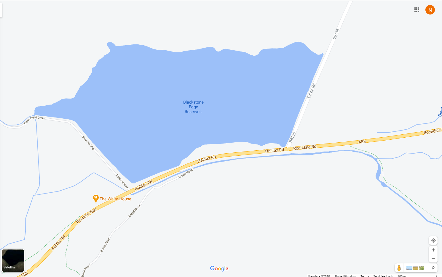
The next day was spend walking around Blackstone Edge Reservoir in Littleborough. During this day we were trying to locate landmarks on the map such as bridge.
Website for being a Dogs Bodie if anyone is interested.
The syllabus for Bronze is:
- Navigate using a variety of maps and scales.
- Use 4 and 6 figure grid references with worded descriptions to define the position of a map feature and to locate a feature on the ground.
- Orientate the map using handrails, obvious point features and major landforms.
- Use linear features (e.g. paths, tracks, clear boundaries) as handrails in simple navigation exercises.
- Relate prominent landforms such as large hills and valleys to corresponding contour information on the map.
- Orientate the map by aligning a compass needle against grid north and be aware that magnetic variation causes an inaccuracy.
- Use an orientated map to confirm the direction of travel.
- Use clearly identifiable features to confirm position along the route and to recognise when the target has been overshot.
- Measure horizontal distance on the map and estimate distance on the ground using timing, pacing and simple visual judgements e.g.100m.
- Plan and implement simple routes and navigation strategies based on the above skills.
- Recognise a navigation error within a few minutes and apply simple relocation techniques using handrails and prominent features.
- Demonstrate an awareness of local and national access issues, access legislation, personal responsibilities and the Countryside Code.
- Demonstrate appropriate knowledge of walking equipment, safety equipment and emergency procedures.


